 Some data just needs a little love
IEP collects a lot of data. Most people who work in the estuary have probably heard of FMWT’s Delta Smelt Index, or the Chipps Island salmon trawl, or the EMP zooplankton survey. But those “big name” surveys are only part of what we do at IEP! This is the first blog post in a series on “underappreciated” datasets where we highlight some of the data you might not be familiar with.
Yolo Bypass Fish Monitoring Program’s Drift Invertebrate survey
By Nicole Kwan, Brian Schreier, and Rosemary Hartman
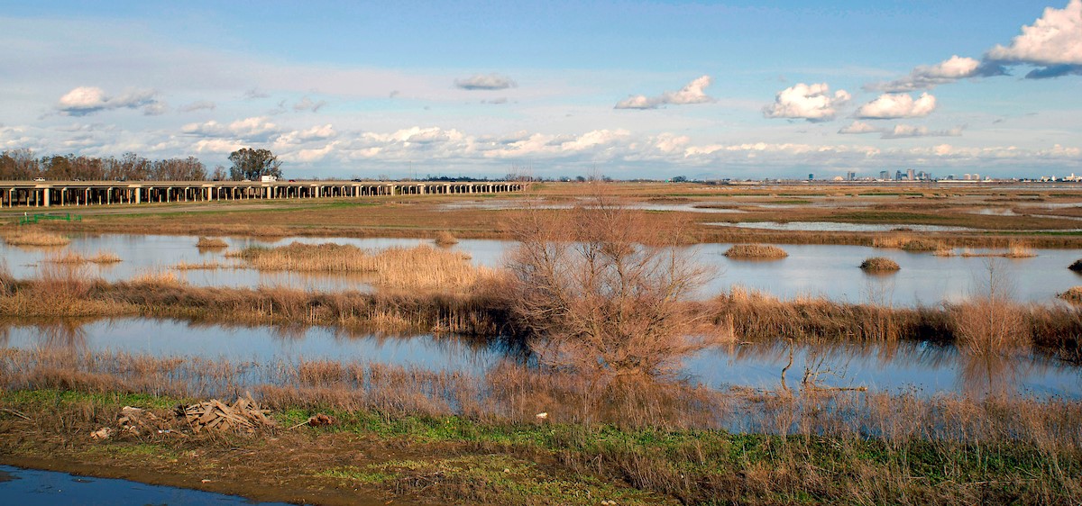
In most of the estuary, we concentrate on invertebrates and other fish food that live under the water. However, in streams and rivers the contribution of terrestrial invertebrates falling into the water from surrounding vegetation and aquatic insects that ‘hatch’ on the surface of the water to metamorphose into their terrestrial adult form are also important food sources for fish, particularly Chinook Salmon and Sacramento Splittail. The Yolo Bypass, a large managed floodplain near Sacramento, is located on the boundary between the estuary and the river. As such, the Yolo Bypass Fish Monitoring Program (YBFMP) tracks both aquatic zooplankton and terrestrial drift invertebrates.
Click here to read this post at the IEP website.


