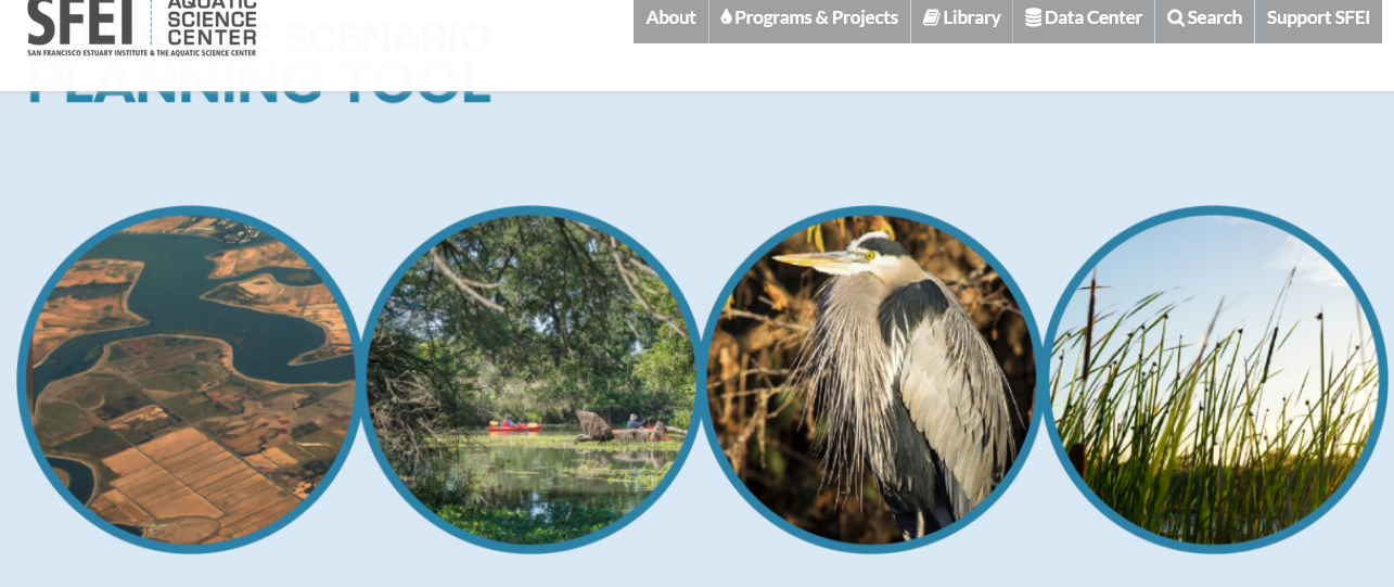
 From the San Francisco Estuary Institute:
In partnership with the Delta Stewardship Council, the San Francisco Estuary Institute has developed version 2.0 of the Landscape Scenario Planning Tool, a GIS-based analysis toolkit to evaluate user-designed land use and restoration scenarios for the Sacramento-San Joaquin Delta and Suisun Marsh.
This free mapping toolbox brings together ten years of science-based research and peer-reviewed methods for California’s Delta-Suisun region. Created for resources managers, local governments, communities, and other planners and decision-makers, the Tool quantifies how projects may affect different priorities, such as supporting healthy native fish populations, reversing land subsidence, sequestering carbon, and supporting local economies.
In addition, the Tool estimates how well a proposed project will achieve ecological goals tracked under the Delta Plan, making it easy to sum up gains across multiple projects at the regional scale.
To learn more, visit the website for the Landscape Scenario Planning Tool.


