Written by Nate Seltenrich, Estuary News Group
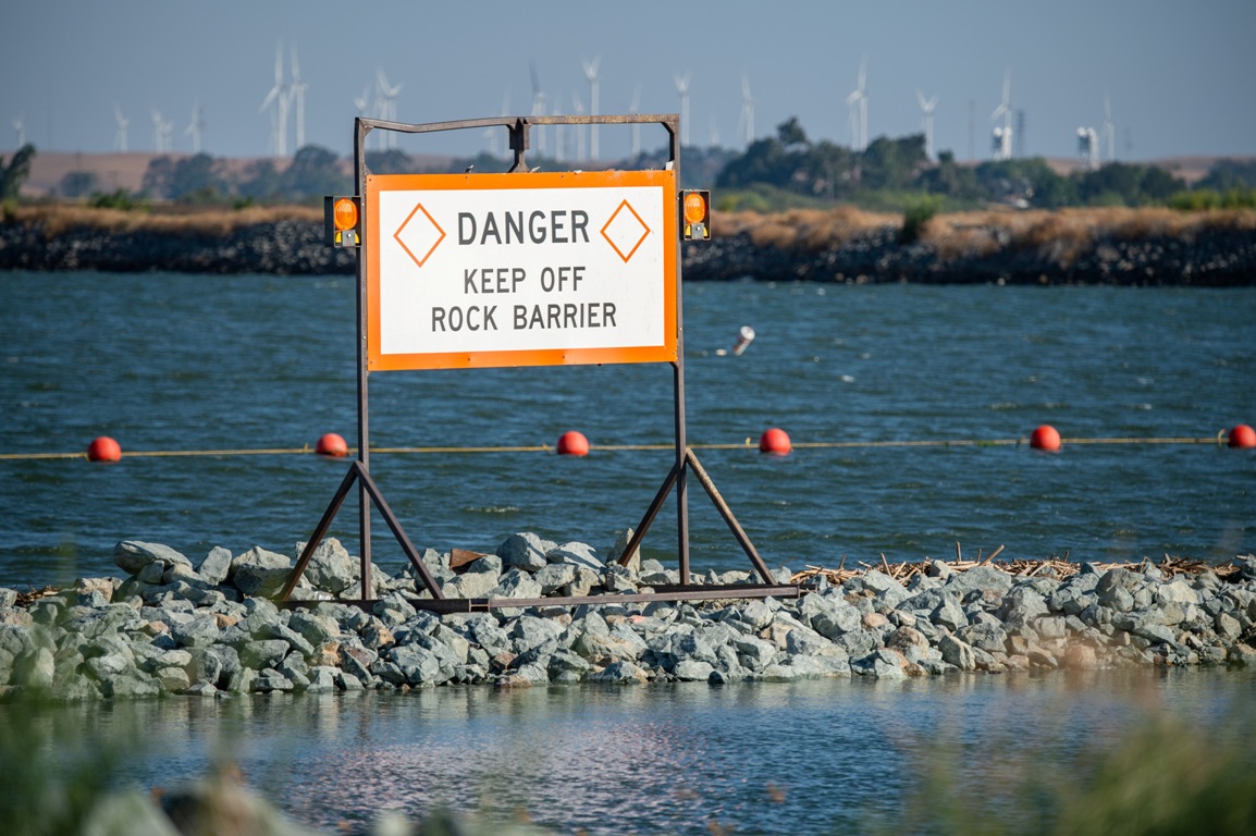
The creeks are desert-dry, the reservoirs are frighteningly low, and now 150,000 tons of rock have been dumped into the Delta. During a typical summer, carefully coordinated releases from upstream dams help keep saltwater from intruding too far into the interior Delta, where it could threaten the state’s water supply. But this is not a typical year, and by early May state water managers realized they wouldn’t have enough storage to maintain the standard hydraulic salinity barrier. So they resorted to rocks instead. Since then the wall has done its job well, though at the possible cost of increasing harmful algal blooms in the protected and comparatively stagnant freshwater behind it.

Construction of the barrier across the 800-foot-wide, 30-foot-deep West False River began on June 3 and concluded on June 18. That’s a faster timetable than the last time it went up — the last time the region was staring down a severe drought, in 2015 — because this year the situation was more sudden, more dire. “It was a very fast process,” says Jacob McQuirk, a principal engineer at the California Department of Water Resources (DWR) who also oversaw installation of the 2015 barrier. “We had less lead time this time around. The drought came faster at us.”
How can a single rock wall across a single channel, deep in the Delta roughly ten miles east of Suisun Bay, stop saltwater from inching with each flood tide closer to the hallowed pumps of the interior Delta? By preventing it from entering Franks Tract, a circular water body the size of a small bay that serves as a sort of feeder basin for the labyrinthian channels branching to its south and east. “If salt gets into Franks Tract, then from there it can push farther into the Delta,” McQuirk says.
Franks Tract is still connected to freshwater flows through the San Joaquin River to its north. But the barrier does pose potential environmental and ecological consequences. Preliminary data from the U.S. Geological Survey in late August indicates an increase in concentrations of toxic cyanobacteria in Franks Tract, although this has not yet been definitively tied to the barrier.
In addition, a study of the impacts of the 2015 barrier determined that while it didn’t significantly affect water quality, plankton, or two species of non-native clams in Franks Tract, cutting off the tidal jet of West False River did allow previously problematic aquatic vegetation to claim even more territory.

Jonathan Wong / DWR
McQuirk says the DWR is closely watching both weeds and water quality in Franks Tract. The agency is also monitoring plankton and fish in surrounding areas to assess any additional impacts of the barrier — and help, if possible, to distinguish them from those of the drought itself.
Yet the two remain inextricably linked. In fact, McQuirk acknowledges that if drought conditions worsen (next year, perhaps) then additional barriers may be required. DWR has already identified two potential locations: Steamboat and Sutter sloughs, much farther north along the Sacramento River. Barriers here would block freshwater from leaving the river, thus sending more downstream to stave off the salt.
Another potential long-term, more ecologically minded solution to the drought problem includes restoring tidal marsh habitat just east of West False River to help “plug” saltwater intrusion into Franks Tract.
In any case, this year’s barrier is set to be fully removed by November 30, before winter flooding or other major flows. But the rocks are much slower coming out than going in, meaning de-construction of the wall will begin soon — at a time when our region is at its very driest, even in normal years.
Produced by Estuary News Group


