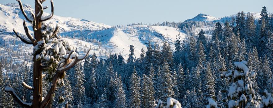
 California Snowpack Holds More Water than Last Year
*This press release was updated by DWR around 1:30pm.
From the Department of Water Resources:
Today, the Department of Water Resources (DWR) conducted the second Phillips Station snow survey of 2019. The manual survey recorded 50 inches of snow depth and a snow water equivalent (SWE) of 18 inches, which is 98 percent of average for this location. Statewide, the Sierra snowpack is 100 percent of average.
By comparison, on February 1, 2018 measurements at Phillips Station revealed a SWE of 2.6 inches, only 14 percent of the early-February average. And last year at this time, measurements at this location were at 30% percent of average.
“The snowpack across California is on par with the historical average for this time of year, thanks in no small part to an atmospheric river that brought heavy snowstorms to the Sierra Nevada. Typically, California relies on a handful of large storms like we saw earlier this year.” said DWR Director Karla Nemeth. “It’s a start, but the next two or three months will determine what it means for our reservoirs and overall water supply.”
Results from snow surveys like the one conducted today at Phillips Station are critical to the management of California’s water. More than 50 local, state, and federal agencies work together as part of the Cooperative Snow Surveys Program to collect data from more than 300 snow courses throughout California.
“The data we collect allows us to forecast how much snowmelt will run off into our streams and reservoirs,” said John Paasch, Chief of DWR’s Hydrology and Flood Office. “Snowpack is an important factor in determining how DWR manages California’s water resources each year to sustainably meet demands.”
On average, the Sierra snowpack supplies about 30 percent of California’s water needs as it melts in the spring and early summer to meet water demands in the summer and fall.
DWR has conducted manual snow surveys at Phillips Station since 1964, recording both depth and snow water equivalent. Snow water equivalent is the depth of water that theoretically would result if the entire snowpack melted instantaneously. That measurement allows for a more accurate forecast of spring runoff.
DWR conducts five snow surveys each winter – near the first of January, February, March, April and May – at Phillips Station in the Sierra Nevada just off Highway 50 near Sierra-at-Tahoe. The Phillips snow course is one of hundreds that will be surveyed manually throughout the winter. Manual measurements augment the electronic readings from about 100 snow pillows in the Sierra Nevada that provide a current snapshot of the water content in the snowpack.
Additional Resources
- Video of today’s Phillips survey (Expected between 2-3 p.m.)
- Digital photos of today’s Phillips survey (Expected between 2-3 p.m.)
- Snowpack readings (View readings for current regional snowpack and historical snowpack comparison)
- CDEC precipitation data (View current charts for the Northern Sierra 8-station index for updated rainfall readings in the critical northern portion of the state, as well as the San Joaquin 5-station index and Tulare Basin 6-station index.)
——————————————–
Sign up for daily email service and you’ll always be one of the first to know!
- Sign up for daily emails and get all the Notebook’s aggregated and original water news content delivered to your email box by 9AM. Breaking news alerts like this one, too. Sign me up!
 Maven’s Notebook
constantly watching over the world of California water

